
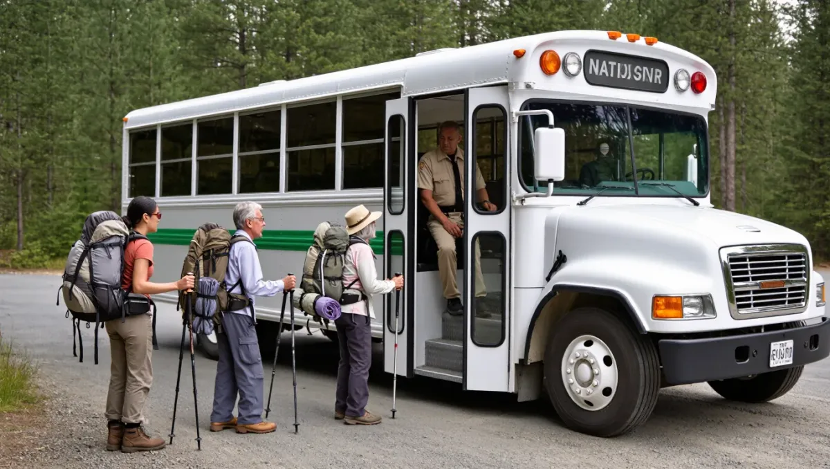
A car-free hiking trip works when you plan the corridor before the trail: pick a destination where transit genuinely arrives — national parks with shuttle systems, regional rail lines into mountain towns, intercity bus stops at trailhead junctions — then build each hiking day around a published timetable instead of a parking lot. Do it in that order and you join the growing share of park visitors who arrive by shuttle or transit; several US national parks now move a large portion of summer visitors on mandatory or voluntary shuttle systems, which is exactly the infrastructure a car-free hiker rides.
This guide covers destination choice, schedule planning, and the logistics of gear and luggage. Schedules and shuttle seasons change annually — confirm current timetables with the transit operator and the land manager before you commit to any leg.
Which destinations actually work car-free?
Three patterns cover most of them. First, shuttle parks: several flagship national parks operate seasonal shuttle loops connecting visitor centers, lodges, and trailheads — systems designed so visitors can leave cars behind, which makes them the backbone of car-free planning; hours and seasons are published by each park and must be checked, since many run summer only and stop by early evening. Second, rail corridors: regional and intercity rail reaches mountain and coastal walking towns in parts of the Northeast, Pacific Northwest, and Europe, where trail networks begin at the station platform. Third, bus junctions: intercity and regional bus routes stop at highway junctions within walking or hitch-adjacent distance of trailhead access roads — common on long trails like the Appalachian and Pacific Crest corridors, where trail towns exist precisely because transit and supply lines meet there.
How do you build a schedule that actually connects?
Plan the transit first and the hiking second, and pad everything. The rules: download current timetables for every leg, including the last return service of the day — a shuttle that ends at 6 p.m. turns an afternoon hike into a long walk home; add at least one buffer service in case a leg is missed; and never plan a connection tighter than the operator's own recommended transfer time. For day-hike-based trips, pick one base with multiple trailheads reachable from it, so each day is a simple out-and-back on transit rather than a new puzzle. Note that weekend service differs from weekday service on many rural routes — the timetable that works Saturday may not exist Tuesday.
Related stories: How to Plan a Hiking Trip Abroad: Documents, Permits, and Logistics · First Backpacking Trip Packing List: What to Carry (and What to Skip).
What about gear and luggage on transit?
Pack to the operator's rules, which are stricter than your car's trunk. Intercity trains generally accept standard backpacking packs and trekking poles checked or bagged; intercity buses usually allow one or two checked bags plus a carry-on, with poles required to be bagged; local shuttles in national parks allow standard daypacks but space is finite at peak times. The workable kit: one pack within the operator's checked size, a small daypack for hiking days, and poles in a stuff sack. Mail or rent anything bulky — sleeping bags and tents can be rented in most gateway towns, which is cheaper than flying with them.
How do food and resupply work without a car?
They mostly plan themselves in trail towns. Gateway towns with transit stops almost always have walkable groceries, outfitters, and lodging — that is why they became gateway towns. For longer stays, mail resupply boxes to post offices or outfitters along the corridor the way thru-hikers do, timed to your itinerary. The one real constraint is the small-town grocery's size and hours: check both before arrival, since a Sunday-night arrival in a town whose store closes at six is a dinner of vending machine.
What are the common car-free planning mistakes?
Four, all avoidable. Planning summer trips to shuttle parks without checking the shuttle's season and last departure. Treating a rural bus timetable from a third-party app as current instead of verifying with the operator. Underestimating trailhead access roads — a bus stop 15 road miles from the trail is not a trailhead connection unless local transit or a shuttle covers it. And booking the return before confirming the outbound: verify each leg exists in the current season's schedule before paying for anything downstream of it.
What is the bottom line?
Corridor first: pick a park with shuttles, a rail trail town, or a bus-junction trail town. Schedule second: timetables verified with operators, buffer connections, last-service discipline. Luggage third: one checked pack, bagged poles, rent the rest. Conditions, seasons, and schedules change every year — check with the transit operators and the managing agency before you go, and the car stays home without the trip suffering for it.