
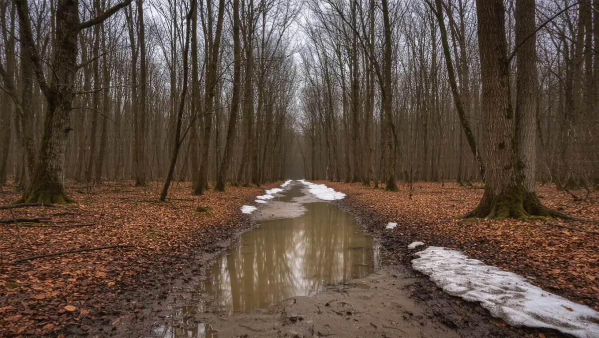
Mud season — roughly March through May in most US northern mountains — is the stretch when snowmelt and thaw turn popular trails into mud beds that a dozen boot passes can damage for a season: trail managers across the Northeast, the Rockies, and the Cascades ask hikers to stay off high-elevation and high-use trails until they dry, and some land managers post formal muddy-trail advisories that carry real weight. The fix is not to stop hiking in spring; it is to pick routes that drain, elevation bands that have dried, and south-facing aspects that thaw first.
This guide explains the thaw sequence, the route-selection logic, and the closures to check. Advisory lists change weekly during spring — always confirm current trail conditions with the managing agency or the trail organization that maintains your route before you go.
What exactly is mud season, and why does it matter?
The problem is freeze-thaw, not rain. As frozen trail beds thaw from the top down, meltwater sits on still-frozen ground with nowhere to drain, and each boot pass squeezes mud upward and breaks the soil structure that plants and tread rely on. Studies and agency guidance on the Northeast's highest peaks — where trail organizations and the state have long asked hikers to stay above treeline or off high trails until they dry — document how quickly concentrated spring traffic widens and deepens trail damage. The mud itself dries; the erosion, braiding, and vegetation loss it causes often do not recover for years.
Which trails dry first, and which stay muddy longest?
Aspect and elevation decide it. South-facing slopes get direct sun and dry weeks earlier than north-facing ones at the same elevation. Low-elevation valley trails, rail trails, sandy soils, and gravel-surfaced paths drain early; high-elevation routes, drainages, and anything crossing wet meadows or seeps stay soft longest. In northern mountains the general pattern: valley and ridgeline-with-southern-aspect routes are workable from early spring, mid-elevation mixed routes through late spring, and the highest, muddiest corridors — the ones trail clubs explicitly ask you to skip — not until the trail beds have dried, often late May to June depending on the year and snowpack.
Related stories: How to Plan Water Resupply on a Long-Distance Hike · First Backpacking Trip Packing List: What to Carry (and What to Skip).
How do you find spring-appropriate routes?
Plan by surface, not by destination. The spring shortlist: rail trails and gravel paths, which drain fast and handle traffic; south-facing low ridges with rocky tread, where water sheets off stone; shoreline and lake loops at low elevation; and desert and coastal options if you can travel — arid regions peak in spring precisely when northern mountains are at their muddiest. Build the plan around two questions for each candidate: what is the tread made of, and which way does the slope face. Trail organizations in mud-season regions publish recommended spring lists annually; start there rather than reverse-engineering your summer list.
What do you do when the trail you are on turns to mud?
Walk through the middle of it. Going around a mud hole widens the trail, kills edge vegetation, and starts the braiding that turns one path into five — the standard guidance from every trail organization that deals with spring conditions is straight through the center, waterproof footwear willing. Turn back if the mud is deep enough to force you off-tread, and save the route for June. Poles with mud baskets, gaiters, and footwear you can rinse afterward make the middle-of-trail strategy practical rather than heroic.
Which spring closures and advisories should you check?
Three layers before every spring hike. First, the land manager — national forest, state park, or municipal — whose site lists seasonal closures: some areas close trails for thaw, wildlife, or road conditions well into spring. Second, the trail-maintaining organization, which posts muddy-trail advisories and recommends drying times on the routes it maintains. Third, the access itself: many mountain roads that reach trailheads do not open until snowplowing finishes, so a dry trail behind a closed gate is not a plan. A quick check of all three the week you hike is the whole routine.
What is the one-line spring planning rule?
Go low, go south-facing, go gravel, and save the high routes for June — then walk straight through whatever mud you meet, and check the managing agency's current conditions and closures before you go. Mud season rewards planners; the trail damage it leaves behind punishes everyone who treats March like July.