
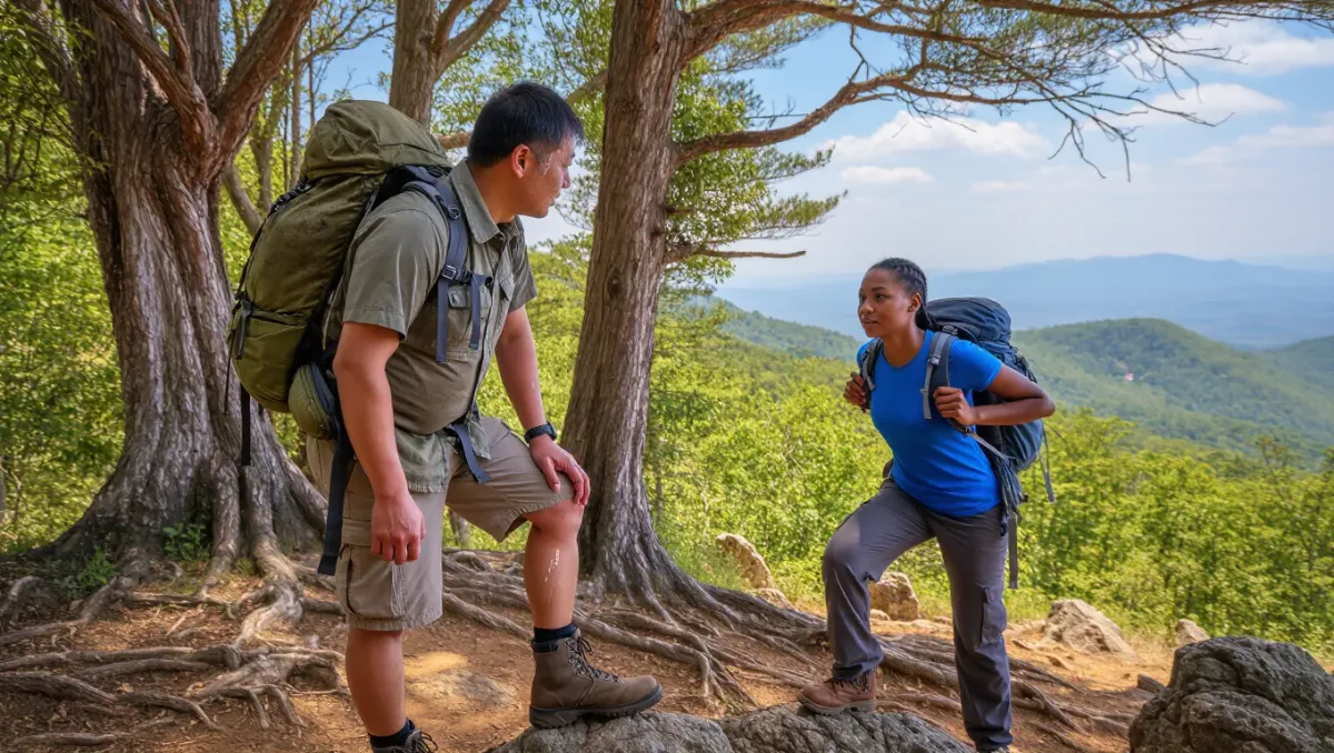
Vermont's Long Trail runs 272 miles along the Green Mountains from the Massachusetts line to the Canadian border, and it sections naturally into weekend and weeklong chunks because the Green Mountain Club — which built and has maintained the trail since completing it in 1930 — keeps trailheads, shelters, and road crossings distributed at drivable intervals the whole way, per the club's Long Trail Guide and annual publications. Most section hikers break the route into four to seven trips: gentle southern miles, a middle stretch that shares the Appalachian Trail, and a rugged northern half that earns the trail its reputation as the AT's tough older sibling.
This guide covers how to slice the trail, when to go, where to sleep, and the logistics — shuttles, water, mud season — that make Vermont's weather and terrain work in your favor. The managing details change seasonally, so the standing rule applies: check current conditions with the Green Mountain Club before any trip.
Why section hike the Long Trail at all?
Because it fits real calendars. An end-to-end hike of the 272 miles typically takes three to four weeks, per the Green Mountain Club's planning guidance — a month most working adults cannot assemble — while the trail's road crossings every handful of miles make 2-to-5-day sections practical with a single car shuttle or a ride-share. The trail is also the oldest long-distance trail in the United States, conceived in 1910 and finished in 1930, and its character rewards repetition: the same path, revisited year after year, in pieces, is a long-term project with a summit-log ending at trip's End on the border.
How should the trail be divided?
The club's own planning materials group the trail into natural regions, and section hikers have long used variations of this division.
| Section | Rough mileage | Character | Typical trip length |
|---|---|---|---|
| Massachusetts line to Route 4 (Killington area) | About 75 mi | Rolling hardwoods, gentler grades, AT shares the path | Two long weekends or a week |
| Route 4 to Middlebury area | About 65 mi | Remote middle miles, ridgeline camps | A week |
| Middlebury Gap to Smugglers' Notch | About 60 mi | Ledges, road-walk breaks, resupply logic | A week |
| Smugglers' Notch to Canada (via Mount Mansfield) | About 70 mi | The rugged famous half: Mansfield, steep slopes, roots and mud | A week or two trips |
The northern half is objectively harder: the Green Mountain Club's guidebooks rate its grades and footing as the trail's most demanding, and the crown of the route is Mount Mansfield, Vermont's high point at 4,393 feet, where the trail crosses alpine summits that state and club closures protect — respect posted area closures on Mansfield and Camel's Hump, because the alpine plants above treeline recover from footprints over decades, not seasons.
When is the best season for Long Trail sections?
Late June through early October is the working season, and the club's guidance is blunt about the edges: April and May are mud season, when the state and the club ask hikers to stay off high-elevation and soft trails entirely until they dry. June can be glorious or black-fly misery depending on the year's hatch. July and August bring reliable warmth, afternoon thunderstorms, and full water sources. September and early October deliver the trail's best combination — cool air, stable ridges, and the foliage trade-off of crowds on classic sections. Snow can fall on the northern summits in any month, per the club's seasonal notes, so carry the layers even on a forecast-clear week.
Related stories: What to Know Before You Hike to Havasu Falls · What to Know Before You Hike to The Wave in Coyote Buttes North.
Where do you sleep?
The Long Trail's shelter system is its signature: the club maintains roughly 70 overnight sites — screened sleeping shelters and designated tent areas with privies and water sources — spaced about a day's walk apart, per the club's published campsite listings. Sites are first-come, first-served; no reservation system exists for most, so on busy September weekends arrive early or carry a tent and plan to push to a legal campsite beyond the crowded one. Camping outside designated sites is restricted in several areas, notably above treeline and along certain ridgelines, and the club's current guidance governs where dispersed camping is allowed. Group size limits apply at sites, per posted rules — big groups need a different plan, which is exactly what the club's group-trip guidance addresses.
What logistics do you actually need to solve?
Three, in order of importance. Water: Vermont's trail runs ridge-to-ridge with frequent but small sources, and late-summer dry spells shrink them — carry the capacity the club's water notes recommend and treat everything. Shuttles: the classic trick is two cars left at the endpoints, or the long-distance taxi and shuttle services that list themselves in the club's directory; road crossings on Route 9, Route 4, Middlebury Gap, Appalachian Gap, and Smugglers' Notch make end-to-end section logic possible. Resupply: on trips longer than four or five days, the middle sections pass within walking distance of small towns — plan the half-day resupply stop rather than carrying a week of food, which is a rookie load-out the guidebooks specifically warn against.
Trail and closure information changes every season — check the Green Mountain Club's current trail conditions and posted closures before you set any itinerary in stone.
Section facts
- Trail: Long Trail, Vermont — Massachusetts border to Canada, 272 miles (per Green Mountain Club)
- Difficulty: moderate in the south, rugged in the north; footing difficulty as characterized in the club's guidebooks
- Highest point: Mount Mansfield, 4,393 ft, Vermont's summit
- Overnights: about 70 first-come shelter and tent sites maintained by the Green Mountain Club
- Season: late June-early October; avoid mud season per club and state guidance
- Permit: none for hiking; parking and camping rules per state and club postings
- Managing organization: Green Mountain Club, in cooperation with the Green Mountain National Forest and Vermont state lands
- Conditions change — check with the club before you go
Frequently asked questions
How is the Long Trail different from the Appalachian Trail?
They share about 100 miles in southern Vermont, per the Green Mountain Club, but the Long Trail splits north at Rutland-area country and gets harder: steeper grades, wetter footing, and a more remote ridgeline. The LT is older, too — finished in 1930, decades before the AT's completion through Vermont.
Do you need to book the shelters?
No — the club's shelters and tent sites are first-come, first-served, with no reservation system for individual hikers. Busy fall weekends fill sites by mid-afternoon, so start early, and always carry a tent as the fallback the club recommends.
Is the mud season really a total ban?
Treat it as one at elevation. The club and Vermont's land agencies ask hikers to avoid high-elevation and soft trails from snowmelt until trails dry, typically into late May, because foot traffic on wet trails accelerates erosion dramatically. Lower, drier valley walks remain fair game during those weeks.
How long does a full end-to-end take?
Three to four weeks for most hikers, per the club's planning materials, though section hikers of the very slow school treat that number as lore. For most readers the honest answer is that sectioning is the trail's intended gift — it was designed with road crossings precisely so it could be eaten one weekend at a time.